How to Use an India Tourist Map for Easy Travel in 2026
8/26/2026
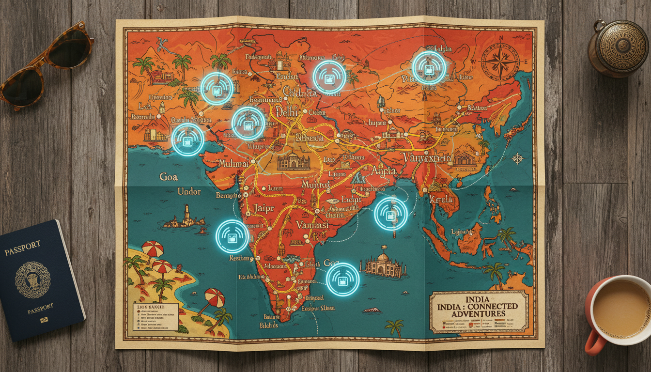
In short, what you'll discover in this article: Explore a comprehensive guide to the india tourist map that helps you visualize key destinations, plan efficient routes, and understand transportation options. Learn about different map types, regional highlights, popular itineraries, and how to stay connected with eSIM data plans while traveling across India.
1. Introduction — Why a Tourist Map of India Is Useful
Planning a trip to India can be overwhelming due to its vast size and diverse attractions. A well-designed tourist map of India is essential for travelers who want to get a clear overview of the main tourist spots and how they are distributed across the country.
It helps you identify clusters of destinations, optimize your travel route, and avoid unnecessary backtracking. Moreover, having a visual guide boosts confidence in your itinerary planning and ensures you don’t miss out on iconic sites like the Taj Mahal or hidden gems in the Himalayas.
2. Types of Maps Available
2.1 Political Map, Physical Map, Road Map vs Tourist Map
India offers various map types, each serving different purposes:
- Political maps show state boundaries and major cities but lack tourist-specific details.
- Physical maps highlight terrain features like mountains and rivers.
- Road maps focus on highways and major roads connecting cities.
- Tourist maps, however, emphasize attractions, cultural sites, heritage locations, and popular routes tailored for travelers.
Choosing the right map depends on your travel needs; for sightseeing and route planning, a detailed map of India for tourists is most practical.
2.2 Interactive Map vs Downloadable PDF — Advantages and Limitations
Interactive India maps allow zooming in on specific regions, clicking on points of interest for details, and sometimes integrating real-time transport info. They are excellent for flexible trip planning on mobile devices.
On the other hand, downloadable PDFs or printable tourist maps of India offer offline access without internet dependency—ideal for remote areas or when conserving mobile data. However, they lack interactivity and updates.
Both formats complement each other depending on your travel style.
3. Regional Overview
3.1 North India — Key Cities and Attractions (Delhi, Agra, Rajasthan, Himalayas)
The north is home to iconic landmarks such as:
- Delhi: The bustling capital with historic sites like Red Fort.
- Agra: Famous for the Taj Mahal.
- Rajasthan: Known for palaces in Jaipur and desert forts.
- Himalayan region: Offers trekking and spiritual retreats.
A map showing India's cultural sites here helps cluster these destinations efficiently.
3.2 South India — Kerala, Tamil Nadu, Beaches and Backwaters
South India features lush landscapes and tranquil backwaters:
- Kerala: Renowned for its backwaters and houseboats.
- Tamil Nadu: Rich in temples and classical arts.
- Coastal areas offer beautiful beaches ideal for relaxation.
A travel guide map for India focusing on this region highlights natural beauty alongside cultural heritage.
3.3 West India — Goa, Gujarat, Desert Landscapes
Western India combines beach vibes with desert adventures:
- Goa: Popular for beaches and nightlife.
- Gujarat: Known for wildlife sanctuaries and salt deserts.
This region’s India tourist attractions map helps plan diverse experiences from beaches to deserts.
3.4 East and Northeast — Sundarbans, Darjeeling, Tribes and National Parks
The east offers unique biodiversity:
- Sundarbans: Largest mangrove forest.
- Darjeeling: Famous hill station with tea gardens.
- Tribal cultures and national parks enrich this area’s appeal.
Maps highlighting these heritage sites assist travelers seeking off-the-beaten-path adventures.
4. Popular Mapped Itineraries
4.1 Golden Triangle (Delhi-Agra-Jaipur) — Map and Recommended Duration
The Golden Triangle is India's most famous tourist circuit:
- Start in Delhi (2 days)
- Travel to Agra (1–2 days) to see the Taj Mahal
- Explore Jaipur (2 days), known as the Pink City
This route is well-connected by road and rail; an India road map clearly shows distances between these cities.
4.2 Nature/Mountain Routes (Ladakh, Himachal Pradesh, Sikkim)
For nature lovers:
- Ladakh offers high-altitude deserts.
- Himachal Pradesh features scenic valleys.
- Sikkim boasts Himalayan peaks.
An India train map combined with road routes aids in planning these mountainous journeys.
4.3 Beach & South Routes (Kerala, Goa, Andaman Islands)
Ideal for beach enthusiasts:
- Kerala’s backwaters
- Goa’s coastal charm
- Andaman Islands’ pristine beaches
A map highlighting India's heritage sites also includes natural coastal attractions here.
5. Transport and Distances on the Map
5.1 Major Road Routes and Key Train Stations
India’s extensive transport network connects major tourist hubs:
- National highways link cities like Delhi, Mumbai, Chennai.
- Railways cover almost every region with major stations in metropolitan areas.
Understanding these connections on an India travel map helps estimate travel times effectively.
5.2 Estimated Travel Times Between Tourist Hubs
Travel times vary widely:
- Delhi to Agra by train: ~2 hours
- Jaipur to Udaipur by road: ~6 hours
- Mumbai to Goa by train or bus: ~8 hours
Planning with these estimates prevents wasted time en route.
6. Useful Thematic Maps
6.1 UNESCO Sites and Heritage Locations
India boasts numerous UNESCO World Heritage Sites such as Qutub Minar and Khajuraho temples. A dedicated thematic map showcases these cultural treasures clearly.
6.2 Festivals & Seasonality (Best Time to Visit Each Region)
Seasonal maps indicate peak festival times like Diwali or Holi across regions plus monsoon seasons affecting travel plans.
6.3 Practical Maps: Safety, Hospitals, Tourist Information Centers
Maps highlighting safety zones, medical facilities, and tourist offices provide peace of mind during your journey.
7. Downloading and Offline Use
7.1 Available Formats (PDF, PNG, KML) and Printing Tips
Most tourist maps come in PDF format suitable for printing or offline viewing on phones/tablets. KML files integrate with GPS apps like Google Earth for navigation assistance.
7.2 Integration With Apps and GPS (KML/GeoJSON)
Using KML or GeoJSON files allows travelers to import routes into GPS apps ensuring seamless offline navigation even in remote areas.
8. Resources and Useful Links (Downloads & Official Maps)
For official tourism maps of India including state-wise versions or downloadable PDFs visit India Tourism’s official site. Creative interactive maps are also available at TravelScope India.
To stay connected throughout your trip without roaming fees from Delhi to Goa or beyond, consider using an eSIM data plan tailored for travelers visiting India; check out detailed options at indiasim.com/esim-india, which provides comprehensive information on providers like Jio or Airtel along with verified promo codes from MyBestSim for savings on your mobile data plans while exploring these destinations efficiently.
9. Conclusion
A well-chosen india tourist map is indispensable for planning an enriching trip across India's diverse regions efficiently while maximizing sightseeing opportunities without wasting time on unnecessary travel detours. Combining printed or interactive maps with reliable transport info ensures smooth navigation between iconic landmarks and hidden gems alike.
Don’t forget to enhance your connectivity by exploring eSIM data plans from trusted providers through resources like indiasim.com to stay online effortlessly throughout your adventure!
FAQ
What types of maps are best for tourists in India?
Tourist maps are best for travelers as they highlight attractions, cultural sites, and popular routes. Unlike political or physical maps, tourist maps focus on sightseeing and route planning, making them practical for exploring India’s diverse destinations.
How do interactive maps differ from downloadable PDFs?
Interactive maps offer zooming, clickable points of interest, and sometimes real-time transport info, ideal for flexible mobile use. Downloadable PDFs provide offline access without internet but lack interactivity and updates, useful in remote areas or to save mobile data.
Which regions should I focus on for a cultural tour in India?
North India is rich in cultural landmarks like Delhi, Agra’s Taj Mahal, Rajasthan’s palaces, and Himalayan retreats. A tourist map focusing on these areas helps cluster key sites efficiently for a culturally immersive itinerary.
What are the main transport options shown on India tourist maps?
India tourist maps typically show major national highways and key train stations connecting cities. Understanding these routes helps estimate travel times and plan efficient journeys between popular tourist hubs.
How can I stay connected while traveling across India?
Using an eSIM data plan tailored for travelers allows seamless mobile connectivity without roaming fees. Providers like Jio and Airtel offer reliable coverage, and resources such as indiasim.com provide detailed options and promo codes for savings.

Anjali Rao
Anjali is a travel and technology writer who has criss-crossed India by train, plane and rickshaw. At India eSIM she tests travel data plans on Jio, Airtel and Vi and explains how visitors can stay online affordably from Delhi to the backwaters of Kerala.