Great Indian Desert Map in India Showing Location and Geography
7/12/2026
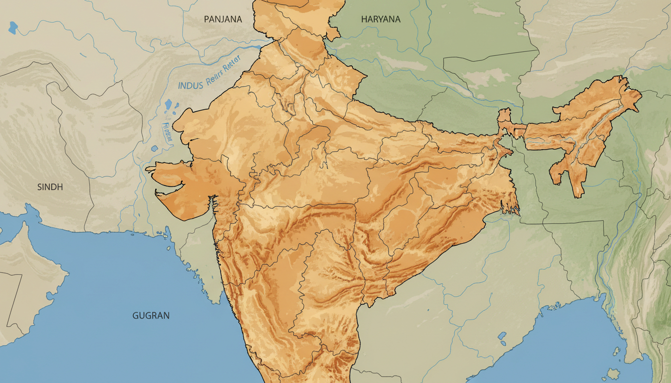
In short, what you'll discover in this article: Explore detailed insights and visual resources about the Great Indian Desert, also known as the Thar Desert. Understand its exact location, geography, climate, and boundaries within India through various map types and practical uses.
1. Introduction
1.1 What Is the Great Indian Desert?
The Great Indian Desert, commonly called the Thar Desert, is a vast arid region located in the northwestern part of India. It stretches primarily across western Rajasthan and extends into parts of Gujarat, Haryana, and Punjab.
Known for its rolling sand dunes and sparse vegetation, this desert is one of the largest in Asia, covering approximately 200,000 square kilometers.
1.2 Why Is a Map Useful?
A clear and detailed map of the Great Indian Desert helps to visualize its boundaries and understand how it fits into India's overall geography. For travelers, researchers, or geography enthusiasts, such maps highlight key cities, natural features, and terrain types that define this unique landscape.
Without an accurate map, grasping the desert’s extent and significance can be challenging.
2. General Location
2.1 Embedded Map: Position in India
The Great Indian Desert is situated mainly in Rajasthan’s western region. It borders Pakistan to the west and touches Indian states like Gujarat to the south and Haryana and Punjab to the north.
This positioning makes it a significant geographical feature influencing climate and culture in these areas.
2.2 States and Districts Covered
- Rajasthan (majority coverage)
- Gujarat (northern parts)
- Haryana (southwestern edge)
- Punjab (southern fringe)
Several districts within Rajasthan such as Jaisalmer, Barmer, and Bikaner lie entirely within the desert’s boundaries.
2.3 Approximate Coordinates and Boundaries
The desert roughly spans from latitude 23°N to 30°N and longitude 69°E to 76°E. Its western boundary aligns with the India-Pakistan border, while eastern edges gradually transition into semi-arid regions.
3. Physical Features Visible on the Map
3.1 Climate and Precipitation
The Great Indian Desert experiences extreme temperatures with very low rainfall averaging less than 250 mm annually. Maps showing climate zones illustrate vast arid zones with scarce precipitation concentrated during monsoon months.
3.2 Terrain, Dunes, and Soil Types
The terrain is characterized by shifting sand dunes, rocky outcrops, and sparse vegetation patches. Soil types vary from sandy loam to saline soils in some areas.
Topographic maps reveal undulating dunes interspersed with flat plains.
3.3 Vegetation and Biodiversity
Despite harsh conditions, pockets of xerophytic plants like acacia trees and grasses survive here. Wildlife includes species adapted to desert life such as desert foxes, chinkaras, and various reptiles.
4. Available Types of Maps
4.1 Physical Maps
Physical maps highlight natural features such as dunes, rivers (mostly seasonal), elevation changes, and soil types across the desert landscape.
4.2 Political/Administrative Maps
These maps show state boundaries, districts within Rajasthan and neighboring states affected by the desert’s spread, along with major towns like Jaisalmer or Barmer.
4.3 Satellite Imagery and Topographic Maps
Satellite maps provide real-time visuals of land cover changes, desertification trends, and human settlements. Topographic maps detail elevation contours crucial for understanding dune formations.
5. Recommended Thematic Mapping
5.1 Desertification Zones and Trends
Thematic maps focusing on desertification reveal areas where land degradation is increasing due to climatic factors or human activity.
5.2 Water Resources and Groundwater Tables
Maps depicting water bodies like seasonal lakes (tobas) or groundwater availability help assess resource management challenges in this arid region.
5.3 Infrastructure and Road Networks
Mapping roads connecting desert towns supports travel planning for tourists or logistics management for local communities.
6. Practical Uses of the Map
6.1 For Researchers and Planners
Accurate maps assist environmental scientists studying desert ecology or urban planners developing sustainable infrastructure in harsh climates.
6.2 For Tourists and Travelers
Travelers benefit from maps showing tourist spots such as Jaisalmer Fort or Sam Sand Dunes alongside connectivity options like roads or nearby airports.
6.3 For NGOs and Conservation Projects
Non-governmental organizations use detailed mapping to monitor biodiversity hotspots or implement desert restoration initiatives effectively.
7. Downloading and Integration
7.1 Available Formats (GeoJSON, KML, PDF)
Maps of the Great Indian Desert can be downloaded in various formats suitable for GIS software (GeoJSON/KML) or printable PDFs for offline use.
7.2 Embedding Tutorial (Leaflet/Google Maps)
Embedding interactive maps on websites or presentations is possible using tools like Leaflet or Google Maps APIs with step-by-step tutorials available online.
7.3 Data Licensing and Attribution
Most publicly available maps require proper attribution to data sources such as Survey of India or NASA when used commercially or academically.
8. Sources and Methodology
8.1 Main Data Sources (Survey of India, ISRO, NASA, OpenStreetMap)
Reliable data comes from government surveys (Survey of India), satellite imagery by ISRO & NASA, plus community-driven platforms like OpenStreetMap ensuring up-to-date cartographic information.
8.2 Date and Reliability of Data
Data sets are regularly updated; however, satellite imagery may vary seasonally affecting visible features like vegetation cover or water presence.
9. Conclusion and Additional Resources
9.1 Download Links
For detailed maps of the Great Indian Desert in India including physical, political, satellite imagery formats visit this resource.
9.2 References and Recommended Reading
Explore further information on the Thar Desert’s geography at Britannica’s Thar Desert page for comprehensive facts about climate, terrain, and biodiversity.
For travelers planning connectivity during their visit to the Great Indian Desert region in Rajasthan or nearby states, consider checking out guides on how to get an eSIM in India or compare plans for seamless internet access without roaming fees at indiasim.com/blog/how-to-get-esim-in-india or indiasim.com/blog/best-esim-india. These resources offer practical advice on choosing data plans tailored for travelers exploring remote areas like the Thar Desert while staying connected effortlessly.
Using an eSIM can be especially handy when navigating through vast desert terrains where traditional SIM card services might be limited but mobile data remains essential for navigation or safety purposes.
By combining detailed geographic knowledge with modern connectivity solutions from providers ranked by MyBestSim — including offers from eSIM.dog (-5% promo code MYBESTSIM), Airalo (-10%), Orange Travel (-5%), Yatelo (-10%), among others — visitors can enhance their travel experience across this fascinating region of India seamlessly.
FAQ
Where is the Great Indian Desert located in India?
The Great Indian Desert is primarily in western Rajasthan, extending into parts of Gujarat, Haryana, and Punjab. It borders Pakistan to the west and covers about 200,000 square kilometers, making it one of Asia's largest deserts.
What types of maps show the Thar Desert's features?
Physical maps highlight dunes and terrain, political maps show state and district boundaries, and satellite imagery reveals real-time land cover and desertification trends. Topographic maps detail elevation and dune formations.
How does the desert's climate affect its geography?
The desert experiences extreme temperatures with less than 250 mm of annual rainfall. This arid climate creates shifting sand dunes, sparse vegetation, and soil types ranging from sandy loam to saline soils.
Which states and districts are covered by the Great Indian Desert?
The desert mainly covers Rajasthan, including districts like Jaisalmer, Barmer, and Bikaner. It also extends into northern Gujarat, southwestern Haryana, and southern Punjab regions.
How can travelers use maps of the Great Indian Desert?
Travelers can use maps to locate tourist spots like Jaisalmer Fort and Sam Sand Dunes, plan routes via road networks, and understand connectivity options such as nearby airports for a smoother visit.

Anjali Rao
Anjali is a travel and technology writer who has criss-crossed India by train, plane and rickshaw. At India eSIM she tests travel data plans on Jio, Airtel and Vi and explains how visitors can stay online affordably from Delhi to the backwaters of Kerala.