How Many Indian States Are There in 2026
7/24/2026
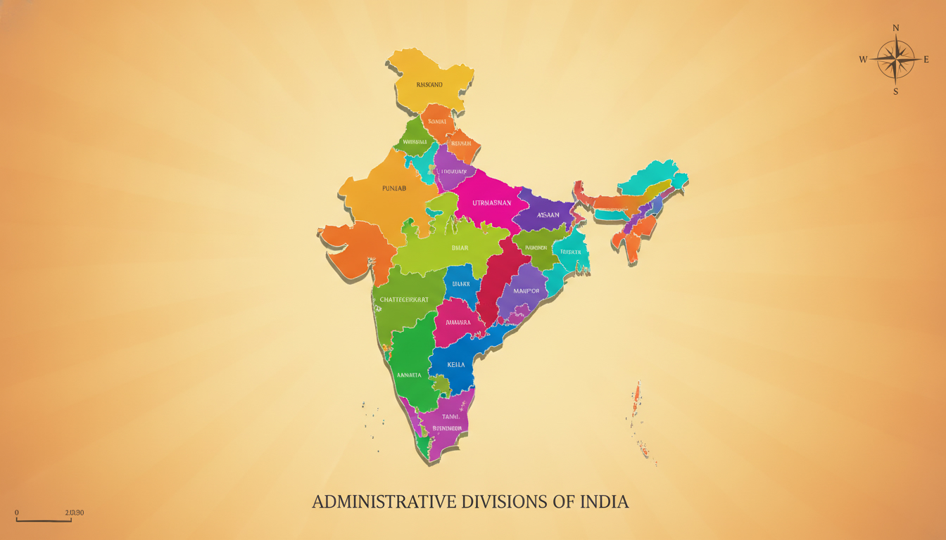
In short, what you'll discover in this article: The exact number of Indian states as of 2026, a clear distinction between states and union territories, a comprehensive list of all states with capitals, and insights into how India’s administrative divisions have evolved over time.
1. Short Answer — How Many States Are There in India?
India currently has 28 states. This number reflects the official administrative divisions recognized by the Government of India as of 2026.
Alongside these states, there are 8 union territories, making a total of 36 subnational entities.
2. Current Number and Clarification (State vs Union Territory)
As of the latest update in 2026, India comprises 28 states and 8 union territories. The distinction is important:
- States have their own governments with elected legislatures.
- Union Territories (UTs) are governed directly by the Central Government, some with legislative assemblies.
This division is based on constitutional provisions and administrative decisions. For the most accurate and official information, you can refer to the States and union territories of India page on Wikipedia, which is regularly updated with government data.
3. Complete List of Indian States
3.1 Alphabetical List — State | Capital | Area | Population | Formation Date
While detailed tables with exact figures are not included here due to data variability, the following is a list of all 28 Indian states with their capitals:
- Andhra Pradesh — Amaravati
- Arunachal Pradesh — Itanagar
- Assam — Dispur
- Bihar — Patna
- Chhattisgarh — Raipur
- Goa — Panaji
- Gujarat — Gandhinagar
- Haryana — Chandigarh
- Himachal Pradesh — Shimla
- Jharkhand — Ranchi
- Karnataka — Bengaluru
- Kerala — Thiruvananthapuram
- Madhya Pradesh — Bhopal
- Maharashtra — Mumbai
- Manipur — Imphal
- Meghalaya — Shillong
- Mizoram — Aizawl
- Nagaland — Kohima
- Odisha — Bhubaneswar
- Punjab — Chandigarh
- Rajasthan — Jaipur
- Sikkim — Gangtok
- Tamil Nadu — Chennai
- Telangana — Hyderabad
- Tripura — Agartala
- Uttar Pradesh — Lucknow
- Uttarakhand — Dehradun
- West Bengal — Kolkata
3.2 Regional Grouping of States
India’s states can also be grouped by geographical regions:
- Northern States: Jammu & Kashmir (now UT), Himachal Pradesh, Punjab, Uttarakhand, Haryana, Rajasthan, Delhi (UT)
- Southern States: Andhra Pradesh, Karnataka, Kerala, Tamil Nadu, Telangana
- Eastern States: Bihar, Odisha, West Bengal, Jharkhand
- Western States: Gujarat, Maharashtra, Goa
- Central States: Madhya Pradesh, Chhattisgarh
- Northeastern States: Arunachal Pradesh, Assam, Manipur, Meghalaya, Mizoram, Nagaland, Sikkim, Tripura
This regional classification helps understand cultural and administrative differences across India.
4. List of Union Territories (UTs) and Key Differences from States
India has 8 union territories:
- Andaman and Nicobar Islands
- Chandigarh
- Dadra and Nagar Haveli and Daman and Diu
- Lakshadweep
- Delhi (National Capital Territory)
- Puducherry
- Jammu & Kashmir
- Ladakh
Union territories differ from states primarily in governance; most UTs are administered by a Lieutenant Governor appointed by the President of India rather than having a fully elected government.
5. History and Evolution of the Number of States in India
5.1 Timeline of Major Reorganizations
India’s state boundaries have changed several times since independence in 1947:
- 1956 States Reorganization Act: Redrew boundaries largely on linguistic lines.
- 1960: Bombay state split into Maharashtra and Gujarat.
- 2000: Creation of three new states—Chhattisgarh (from Madhya Pradesh), Jharkhand (from Bihar), and Uttarakhand (from Uttar Pradesh).
- 2014: Telangana was carved out from Andhra Pradesh.
- 2019: Jammu & Kashmir was reorganized into two union territories—Jammu & Kashmir and Ladakh.
These changes reflect political decisions to improve governance or address regional demands.
6. Why Can the Number Change? (Constitutional and Political Process)
The number of Indian states can change through:
- Parliamentary legislation under Article 3 of the Indian Constitution.
- Recommendations from state legislatures or political consensus.
- Administrative needs or demands for better governance.
Such changes require careful political negotiation and legal procedures.
7. Data and Visualizations
7.1 Interactive Map
For an interactive view showing all Indian states and union territories along with capitals and key statistics like population or area, you can explore official government portals or educational websites that provide updated maps.
7.2 Graphs (Population, Area, Density)
Visual representations often highlight:
- Largest Indian states by area (e.g., Rajasthan)
- Most populous states (e.g., Uttar Pradesh)
- Population density variations across regions
These insights help contextualize the diversity within India’s administrative divisions.
8. Downloads and Open Data (CSV/JSON)
For researchers or enthusiasts looking to download official data sets on Indian states and union territories including demographics and geography in CSV or JSON formats, government census websites or open data portals are reliable sources.
9. Official Sources and References
For authoritative information on Indian states number and details:
- States and union territories of India - Wikipedia
- Government of India official websites such as census.gov.in or india.gov.in provide up-to-date data.
Always check the date on these sources to ensure you have the latest information about any changes in state boundaries or numbers.
10. Related Content / Call to Action
If you’re interested in exploring more about each state’s culture, economy, or travel tips including connectivity options like eSIMs for seamless communication across India’s vast regions:
- Discover how to get an India eSIM with phone number for easy mobile access.
- Learn how to get eSIM in India for your next trip.
- Compare the best eSIM data plans in India to stay connected without roaming fees.
These guides help travelers stay online effortlessly while exploring all corners of India.
11. Conclusion
In summary, India currently has 28 states along with 8 union territories, reflecting its complex administrative structure shaped by history and politics. For accurate updates on any future changes to this number, always consult official government sources regularly updated after legislative actions.
If you plan to travel or work across these regions, consider using an eSIM for convenient mobile connectivity—check out MyBestSim for top-rated providers offering competitive plans with promo codes like “MYBESTSIM” for discounts on your next eSIM purchase in India.
FAQ
How many states does India have in 2024?
As of 2024, India has 28 states officially recognized by the government. This count reflects the current administrative divisions excluding union territories.
What is the difference between states and union territories?
States have their own elected governments and legislatures, while union territories are governed directly by the Central Government, with some having legislative assemblies.
Which Indian states were created most recently?
The most recent states created include Telangana in 2014, and earlier in 2000, Chhattisgarh, Jharkhand, and Uttarakhand were formed from existing states.
Can the number of Indian states change over time?
Yes, the number can change through parliamentary legislation under Article 3 of the Constitution, often driven by political consensus or administrative needs.
Where can I find an official list of all Indian states and capitals?
Official government websites and updated Wikipedia pages provide comprehensive lists of all 28 states along with their capitals and other key details.

Anjali Rao
Anjali is a travel and technology writer who has criss-crossed India by train, plane and rickshaw. At India eSIM she tests travel data plans on Jio, Airtel and Vi and explains how visitors can stay online affordably from Delhi to the backwaters of Kerala.